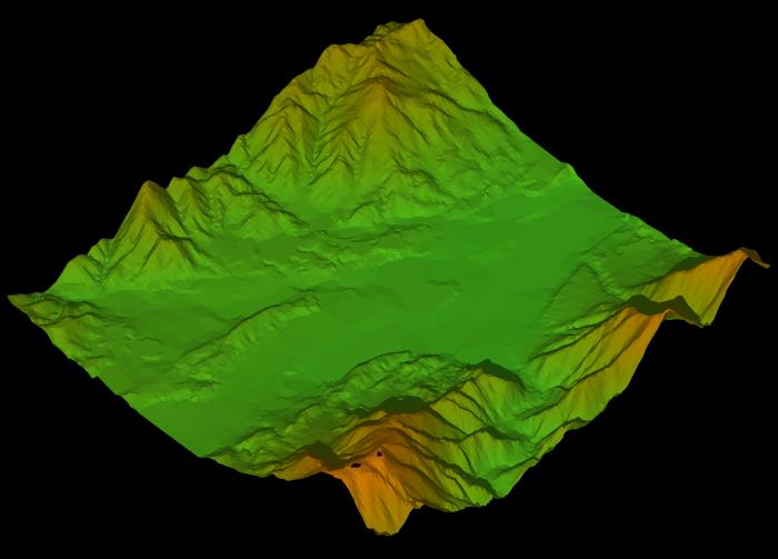
Generating 3D Points from 3D Contour Lines, Changing into TINs and Color-mapped
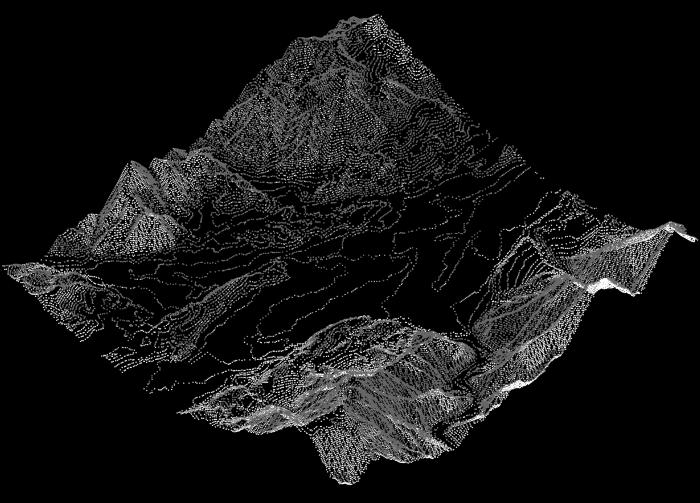
[Points Generated from Contours]
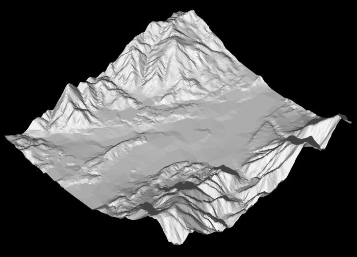
TIN means Triangulated Irregular Network
Image of 3D Points Generated from Contours, No Overhang

Points are changed to TINs.
A color gradation image is lateral-mapped.
Changing image changes color map.