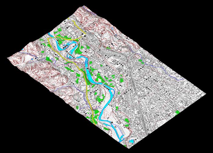
National Geographical Institute of Technology issues Digital Elevation Map and Textures.
[Geographic Feature around River]
These are useful for modeling geographical features.
DEM is changed to points and points are changed to TINs. Map texture is mapped on TINs.