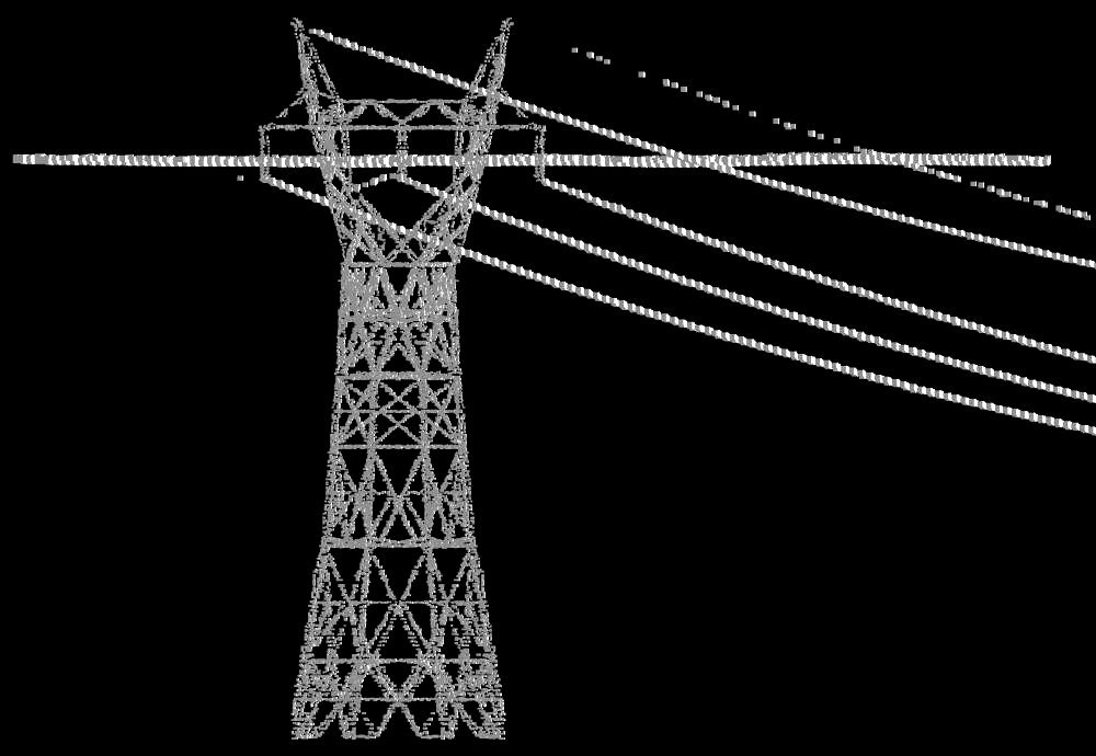
uThe Total Point Clouds Captured By Drone Camerav
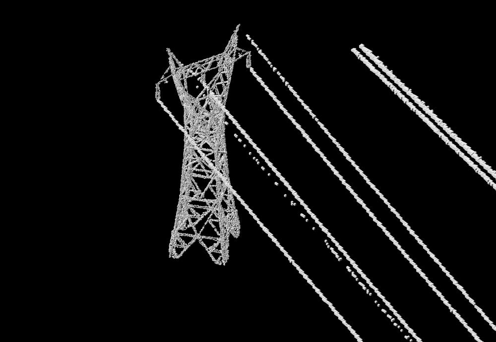
The next image indicates original point-clouds of the pylon taken through drone camera.
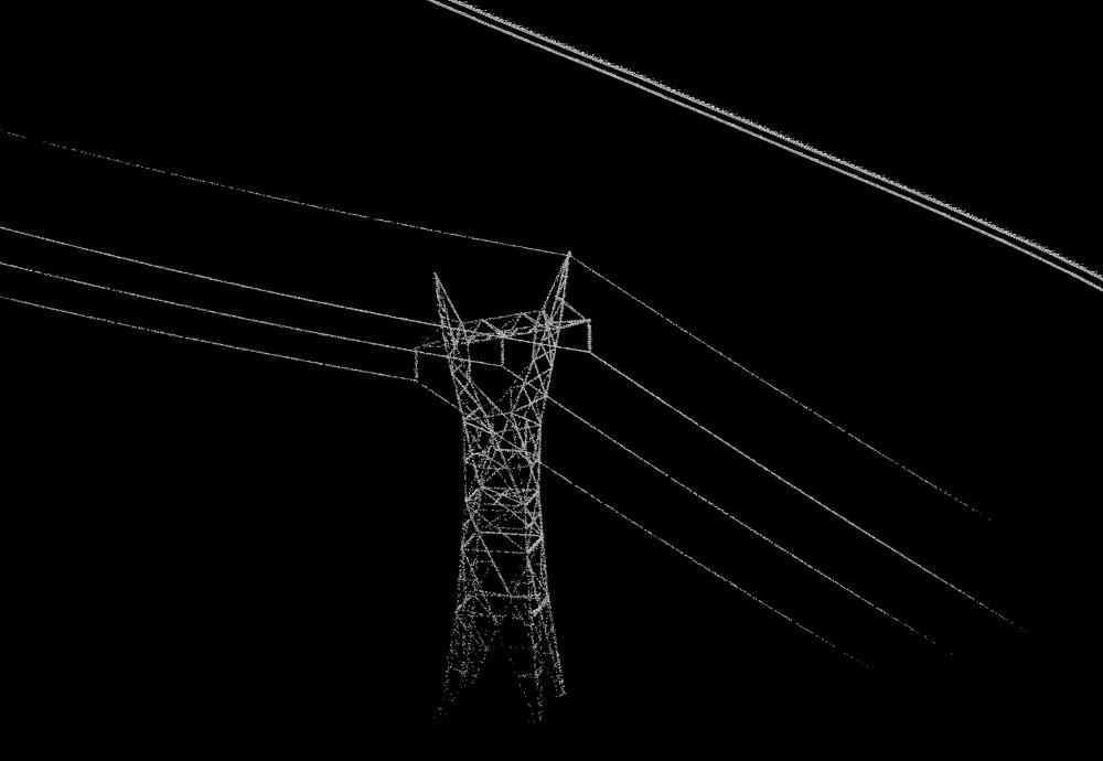
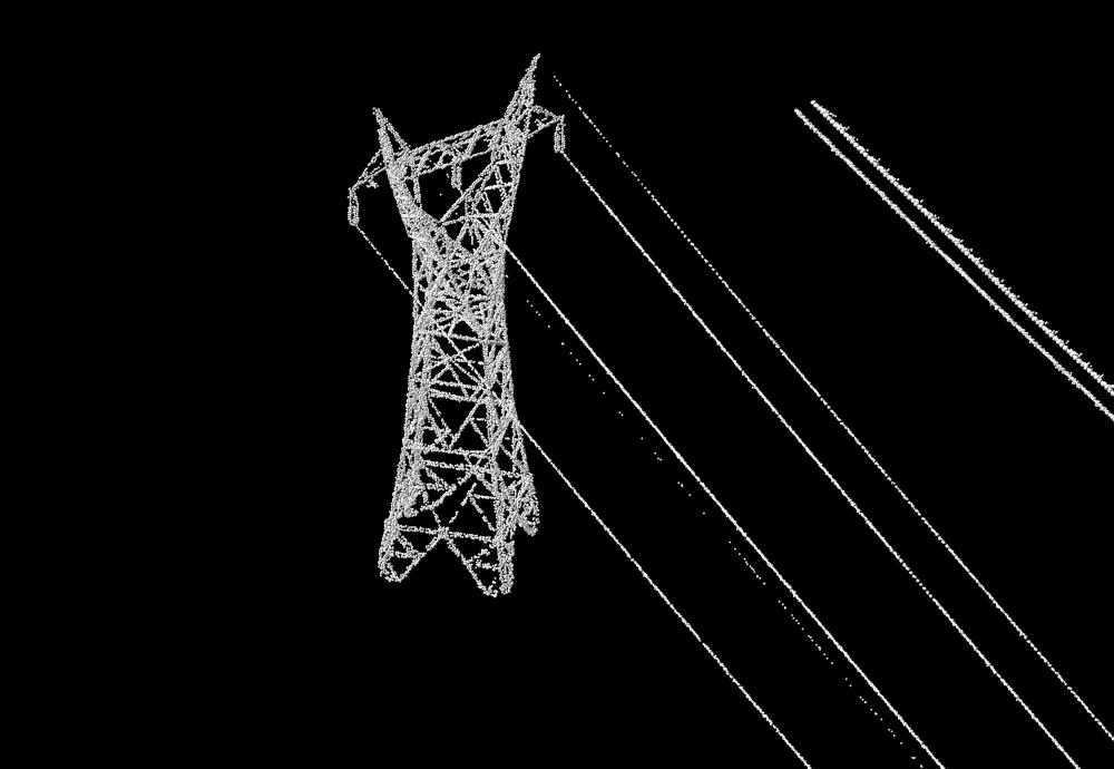
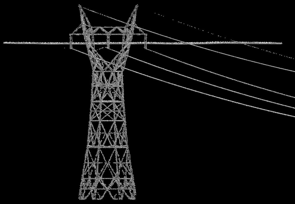
The next two images from a different viewpoints, both indicate point clouds where the point dencity is increased for processing. The next two images indicate polygons generated with the above point clouds.
![]()
![]()
![]()
![]()
