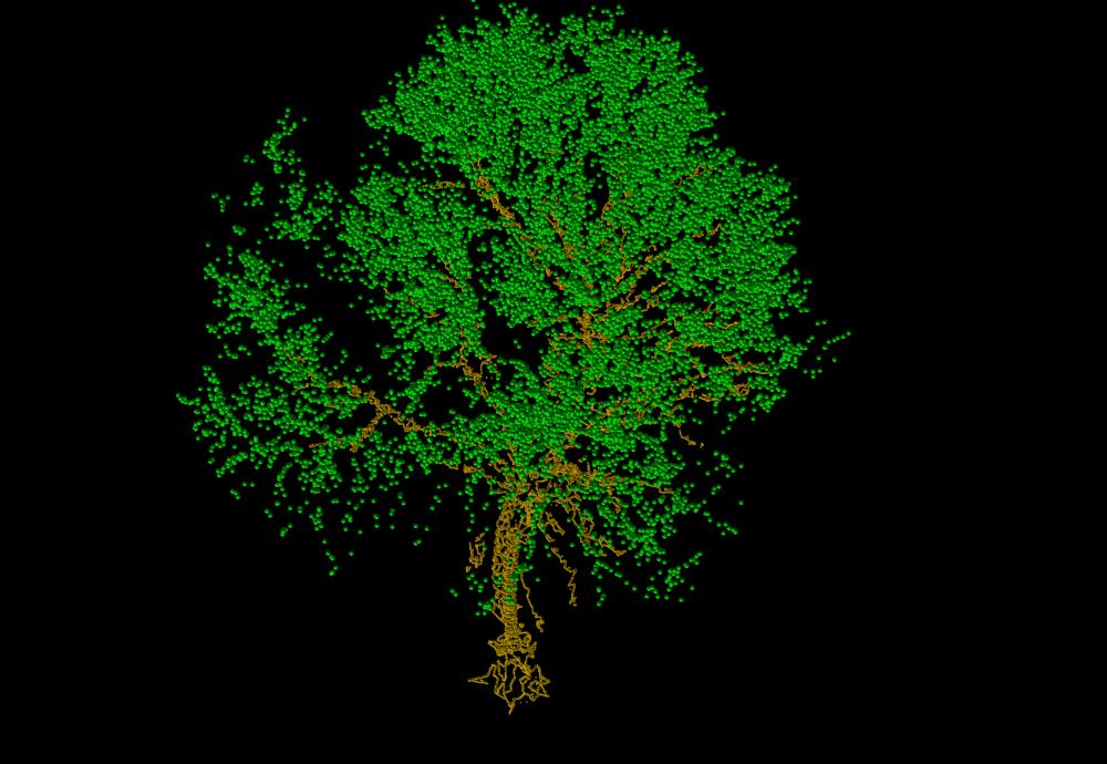
uThe Total Point Clouds Captured By Drone Camerav
The next image indicates original point-clouds of a tree taken from drone camera.
The next indicates point clouds where the point dencity is increased for processing. Four images are on different viewpoints. Each image adopts color mapping.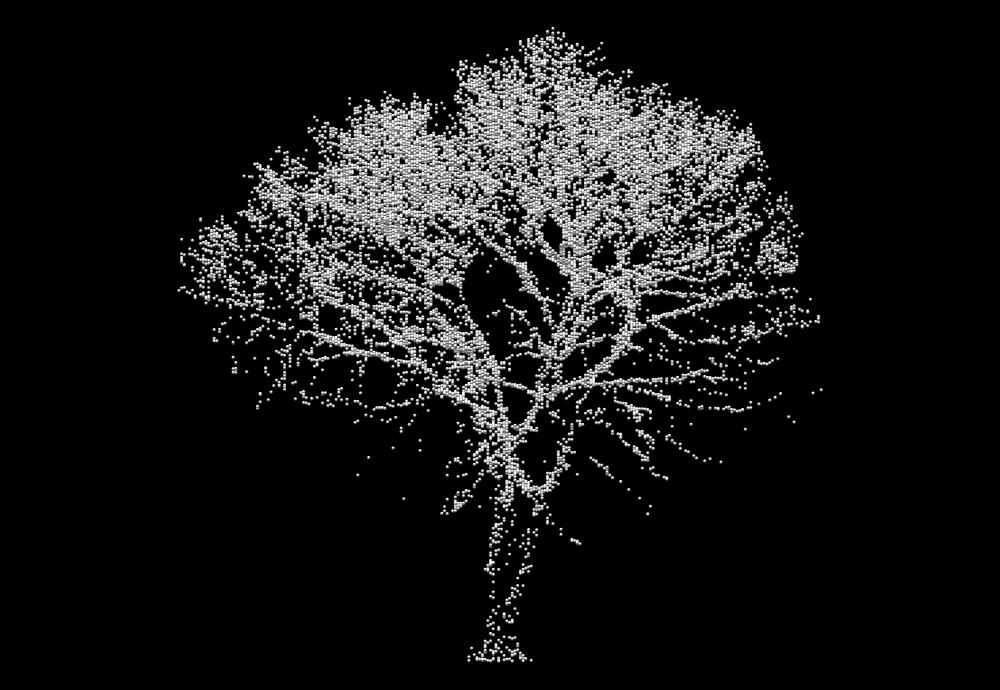
![]()
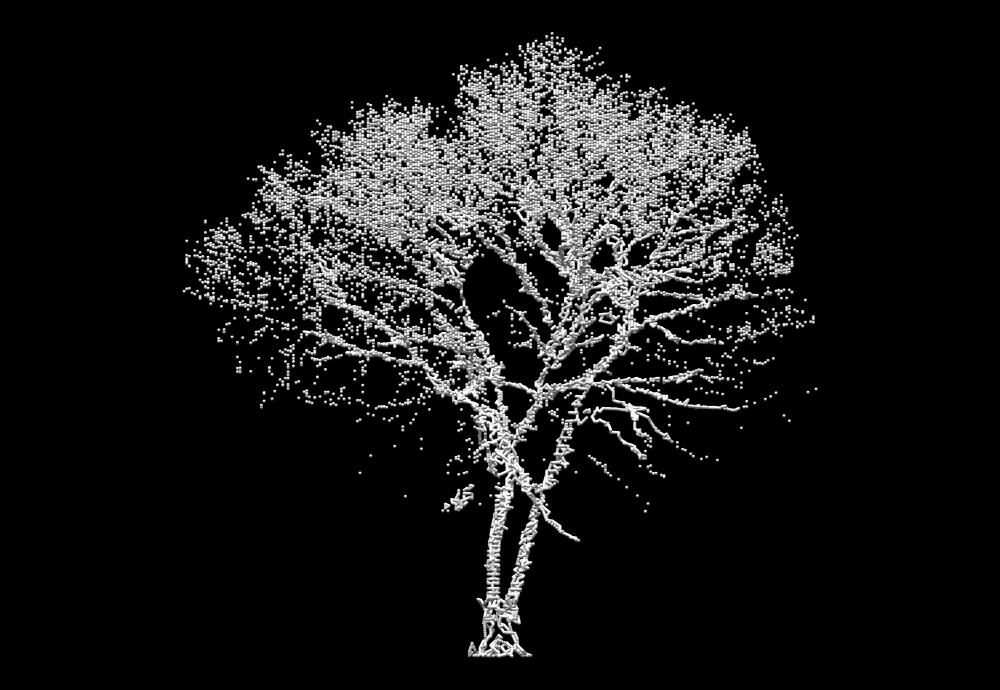
The increased points makes it possible for polygon generation.
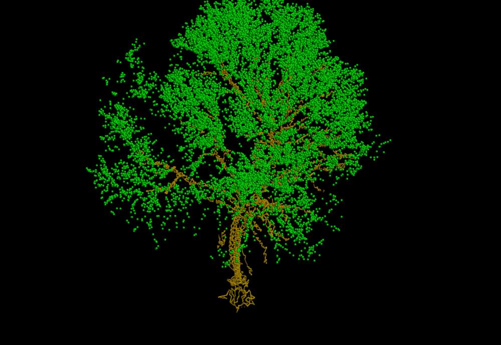
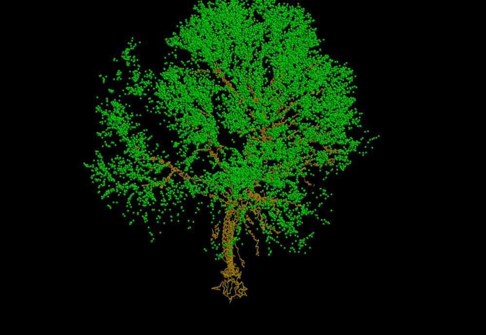
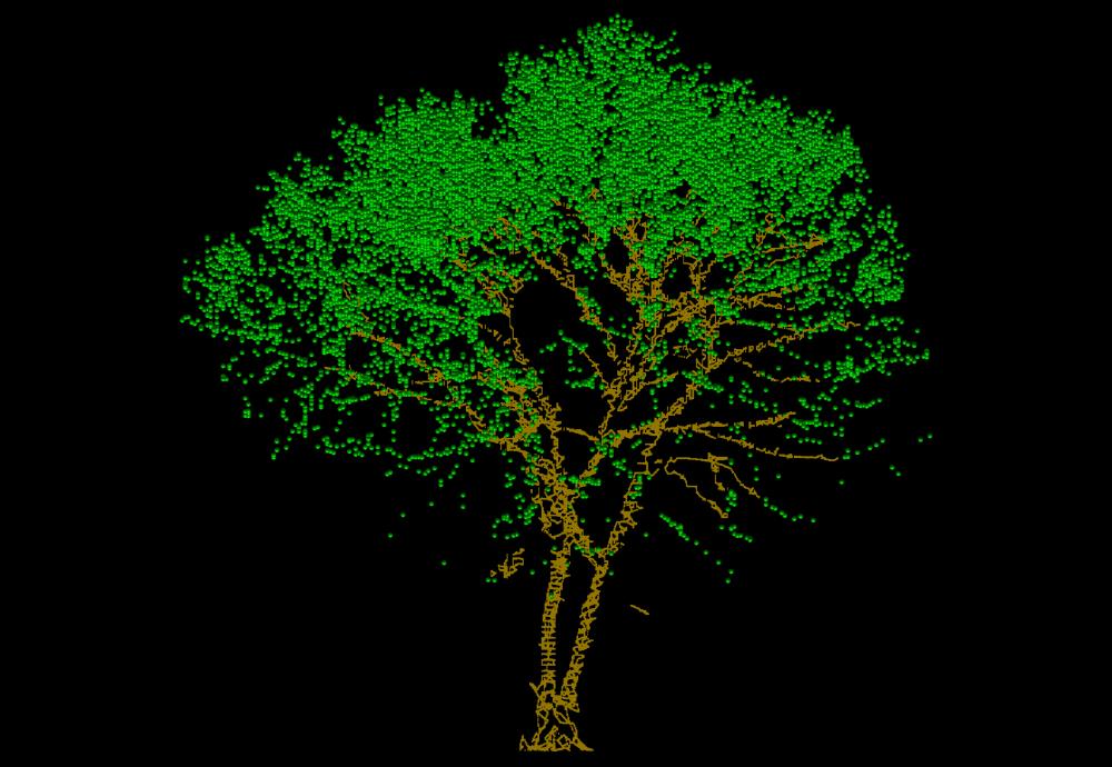
The trunk and branches are polygons. Wands and leaves are points as they are.
![]()
![]()
