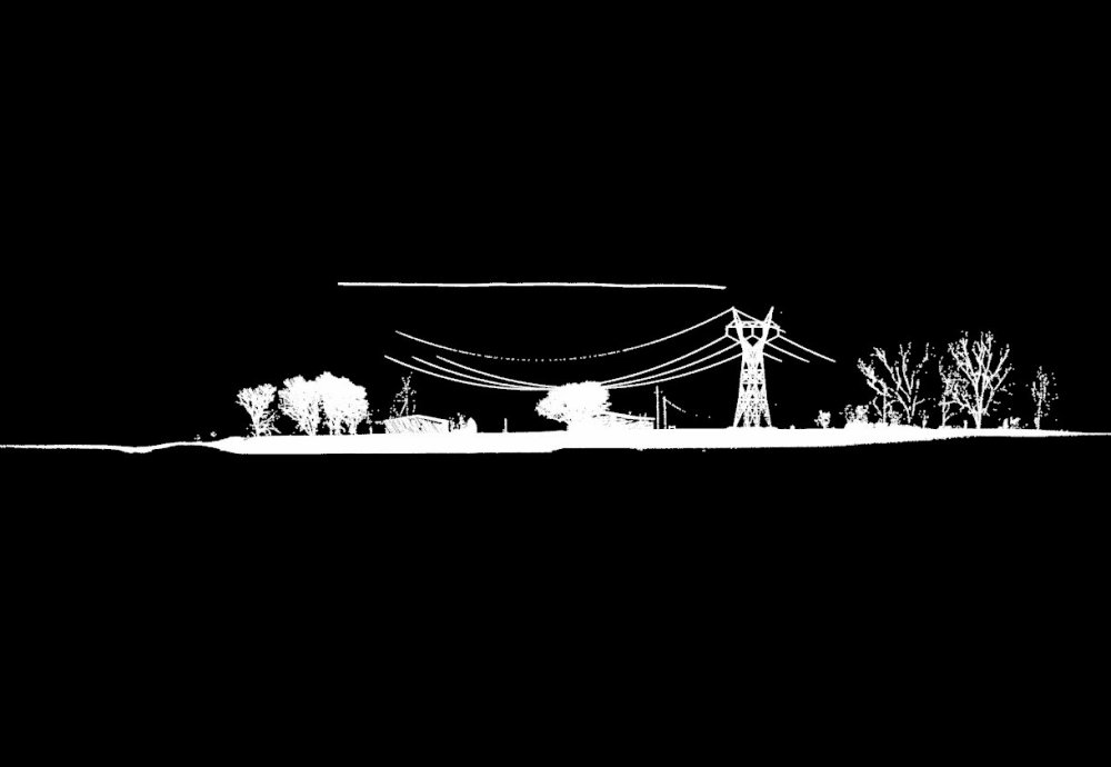
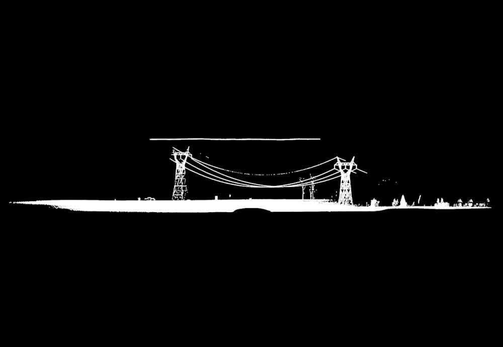
「The Total Point Clouds Captured By Drone Camera」
The next two images express two massive point-clouds at side view taken through drone camera consisting of one million points each mass.
On the following pairs of left and right images, the left are point-clouds taken from drone data 
![]()

![]() and the right are polygons generated with each point-clouds.
and the right are polygons generated with each point-clouds.
Some polygons are unsatisfactory results due to lack of number of points.
.jpg)
![]()

.jpg)
![]()

.jpg)
![]()

.jpg)
![]()
