A drone camera captured data on a broad landform including tumulus. The point number becomes up to twelve million.
After reducing points to one million, we generated TINs and found region-of-interest.Too many number of points are unnecessary.
The TIN generation algorithm here is different from other methods where overhung are processed.
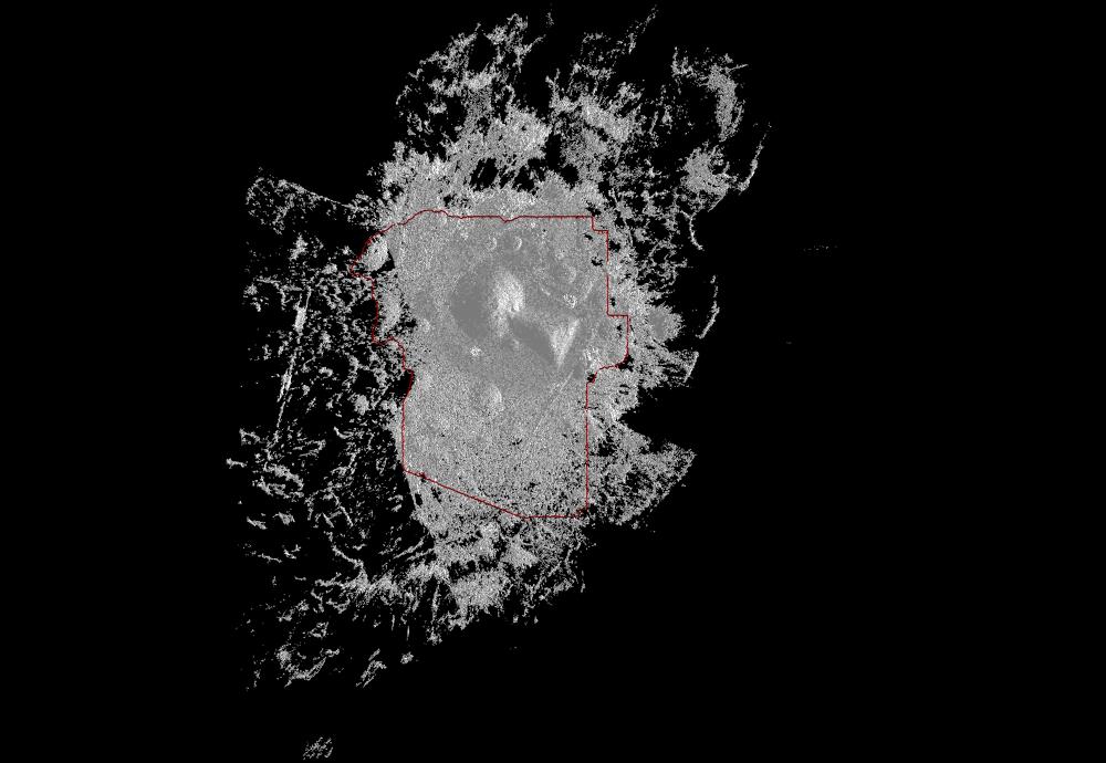
The next image indicates the reduced scanned points and the region-of-interest taken from the next image.
![]()
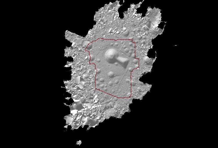
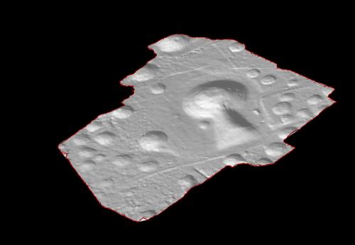
The next image indicates TINs on the former indicated points and the region-of-interest.
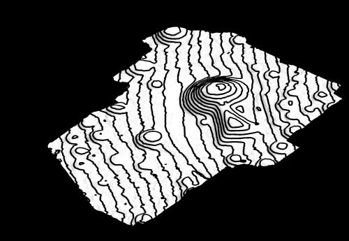
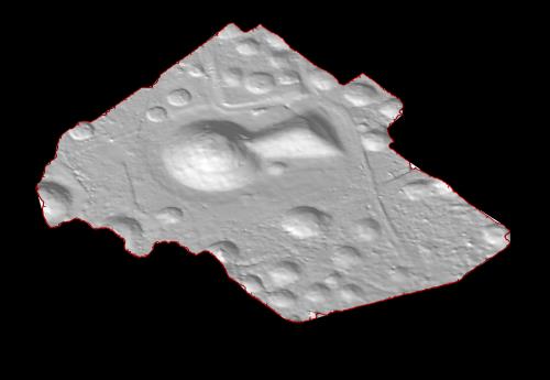
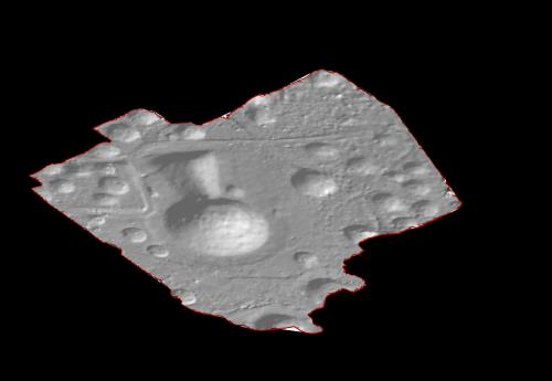
The following 3 images indicate TINs of the region-of-interest according to 3 ciewpoints. The last image indicates a contour map.
![]()
![]()
![]()
